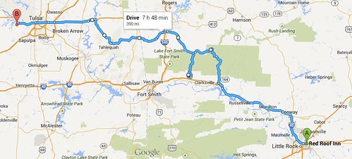
Daily mileage: 390mi
Trip mileage: 1475mi
State count: 6
Today was a little rough starting out. Martinique woke up still feeling pretty sick from the fever she fought last night and the terrible sore throat, and Larkin also had his sore throat. We slept in, hoping that they extra zzz’s would help combat them. Larkin ran to the store in the morning to grab some medicine to hopefully knock out whatever it was that’d been bothering us.
We hit the road rather late (~9:30am) after eating the last
of the leftover pizza from E&E’s.
We slabbed it down I-40 for a ways, hoping to get somewhere fast with
the way we were feeling.
Martinique was in pretty good spirits about the whole thing though.
We stopped for gas and found a more scenic route to the Pig
Trail (which Larkin called the Arkansas Dragon). It was a beautiful ride, with nice pavement and light
traffic. Being a Sunday, we did
see a lot of other bikes, which was cool. Don’t think we’ll ever get used to
seeing bikers without helmets though. Wish we were good enough riders to know
we weren’t going to crash…
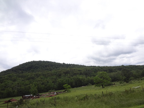
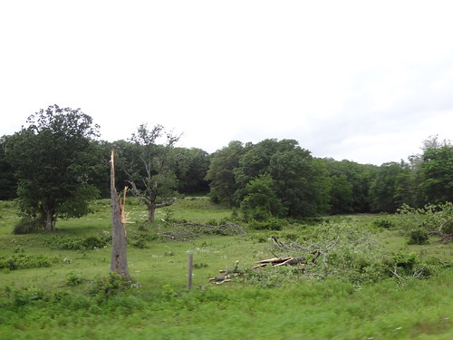
As we were riding, we saw remnants from the storm that had
ripped through OK City. Trees
uprooted, tin from crushed sheds strewn about. Everything we’d seen through AR so far had been flooded. It’s been quite a rough spring for them
so far.
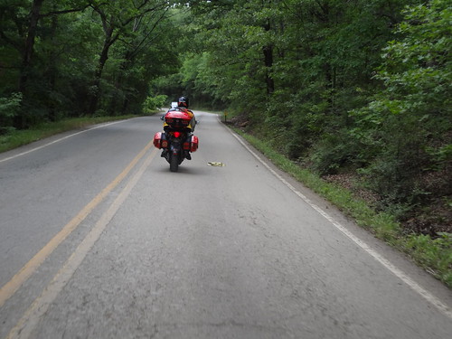
At the top of the Pig Trail:
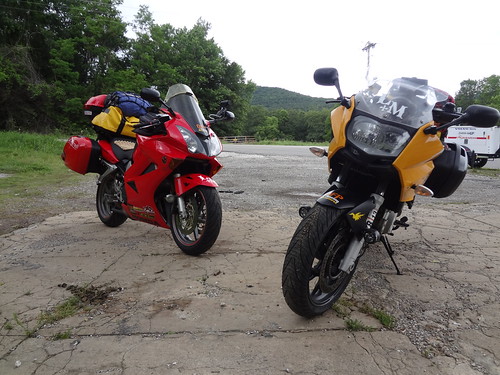
The pig trail was a very tree-lined road:
From a vista point along the Pig Trail:
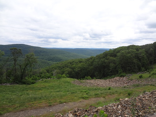
The Pig Trail was… Not quite what we expected. As we turned onto it, there was a field that looked like it’d held some type of event just a few days prior. As we got closer, there were signs warning of congestion. Then we saw it. Tents strew over acres and acres of land in the valley. Barefoot people wearing tie dyed shirts. Did we stumble upon Woodstock? Apparently we stumbled upon a Jam Band Music Fest that was just wrapping up, some 20,000 people had attended (in the mud). And there was a Country Music Fest scheduled to take place the following weekend. Odd how we always seem to stumble upon these odd things in the middle of no where during our travels.
The multicolored piece at the bottom of the photo is a sea of tents. It was hard to capture, but there was probably 20,000 people and tents scattered in the below park:
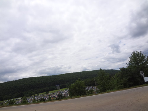
From a vista point along the Pig Trail:
The Pig Trail was… Not quite what we expected. As we turned onto it, there was a field that looked like it’d held some type of event just a few days prior. As we got closer, there were signs warning of congestion. Then we saw it. Tents strew over acres and acres of land in the valley. Barefoot people wearing tie dyed shirts. Did we stumble upon Woodstock? Apparently we stumbled upon a Jam Band Music Fest that was just wrapping up, some 20,000 people had attended (in the mud). And there was a Country Music Fest scheduled to take place the following weekend. Odd how we always seem to stumble upon these odd things in the middle of no where during our travels.
The multicolored piece at the bottom of the photo is a sea of tents. It was hard to capture, but there was probably 20,000 people and tents scattered in the below park:
After abandoning the Pig Trail and it’s crappy pavement and
gazillion cars, we headed North (nice roads) then West into Oklahoma. And that’s when things got… Straight. They really believe the shortest
distance between two points is a straight line out here. We had our sights set on Stillwater,
OK, and as we got close, we saw a sign for “Keystone State Park” right after
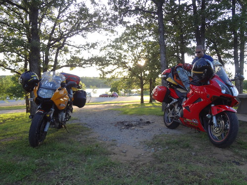
crossing a beautiful dam with a huge lake. We were feeling froggy, and the weather forecast had seemed
pretty good, so we stopped to camp for the night. We’re OFP, we do what we want, on the fly! Grabbed some
dinner at the dock restaurant, set up our hammock, and knocked out for the
night, ready to attack the next day!!
No comments:
Post a Comment